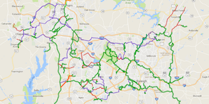
Hiking is one of the biggest pastimes in the Triangle. With our beautiful and mild climate (excepting July-August…let’s be real here) our location is the ideal place to enjoy walking, biking and hiking nearly year round. Fortunately, from Clayton to Chapel Hill, there are hundreds of miles of greenways and trails. You can access the below Google Map of the major area trails here.

Eastern Triangle Trails
Mountains to the Sea Trail – (1157 miles statewide, 68.5 miles local) The Mountains to the Sea Trail is a great way to really see North Carolina. The 1157 miles of trail stretches from the Great Smoky Mountains to the Outer Banks.
“Along the trail, you may see mountain vistas, rolling Piedmont farms, picture postcard colonial towns, weathered tobacco barns, old textile villages, country churches, rushing mountain streams, coastal swamps, hardwood and pine forests, lighthouses, sand dunes, miles of seashore, and friendly people. 680 miles of the route are on trail, and connecting back roads and an optional paddle route allow hikers to trek across the state.”
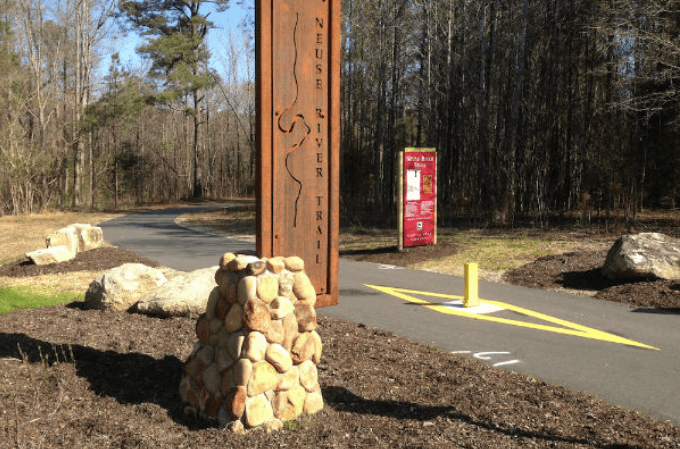
Neuse River Trail (27.5 miles) Part of the Capital Area Greenway System, this extensive trail runs from Clayton almost to Wake Forest. This beautiful trail offers views of the scenic Neuse River and wide

paved blacktops meandering through scenic farmland and wooded terrain. There are 7 bridges over the Neuse River, including 2 suspension bridges.
Of course, you don’t have to hike the entire trail, which would take 3-4 months. The MST joins up with many of our local Triangle trails. You can see a map of the the whole trail here and get information about local segments here.
American Tobacco Trail – (22 miles) The ATT is a multi-county trail in the western part of the Triangle. It from runs from New Hill in Western Wake County, through northeast Chatham and terminates in downtown Durham near the Durham Bulls Athletic Park. The ATT is a rails-to-trails project. Rails to Trails is a conservancy group that works with local governments to convert old, unused railroad tracks into flourishing greenways.
Northern Triangle Trails
Riverwalk – (1.8 miles) Riverwalk is a shorter, mostly urban trail that runs along the Eno River. It is part of the Mountains to the Sea Trail as well and if a longer hike is desired could be used to extend it. I love this trail simply for the interesting vibe. While the town of Hillsborough describes the trail as urban, Hillsborough is arguably a small, quaint town. This is the trail I hit with my kids when we’re looking for something family-ish to do where we can get some exercise, and they are not much into walking for a long time.
We usually either start or end the hike with a trip to the Weaver Street Market for some healthy snacks. It’s right at the trailhead and I love small grocery co-ops. There’s outdoor seating and they have a hot bar and salad bar so you can grab lunch while you’re there and eat outside.
Eno River Trails – (28+/- miles) A series of trails running along the Eno River from Falls Lake in Durham to the town of Hillsborough. Part of the Eno River State Park. Many, but not all of the trails are connected. The map to find multiple parking/access points is downloadable at the Eno River State Park website.
Blue Jay Point – Blue Jay Point includes a segment of the Mountains to the Sea trail for longer hikes. Additionally, there are multiple “loops” in ½ mile, 1 mile and 2 mile lengths. While at the park, kids will enjoy the playground as well as open and natural play areas. Or if you’re in the mood for something more challenging, don’t miss the Go Ape tree-top zip-line tour!
Central Triangle Trails

Bond Park Trail (4 miles) Bond Park is the Town of Cary’s largest and most popular park. Because of it’s central location, Cary decided to use this park as a central hub for their greenway system. So while Bond only has 4 miles of trails within the park, it connects to a large number of other Cary Trails, offering nearly a city-wide walking experience. Specifically, the White Oak Creek Greenway (4.7 miles), Black Creek Greenway (7.1 miles), Bishop’s Gate Greenway (1.5 miles) and Oxxford Hunt/Hoffman Lake Trail (1.1 miles) all originate or terminate at the Bond Lake Trail in Bond Park.
Black Creek Greenway – (7 miles) The Black Creek Greenway is a foundational trail in the Cary area. It connects to both Bond Park and the American Tobacco Trail. It is also part of the East Coast Greenway, which will eventually span from Florida to Maine. Currently, the Black Creek Greenway extends from Lake Crabtree, where it connects to the Old Reedy Creek Trailhead at Umstead Park, all the way to Bond Park in central Cary.
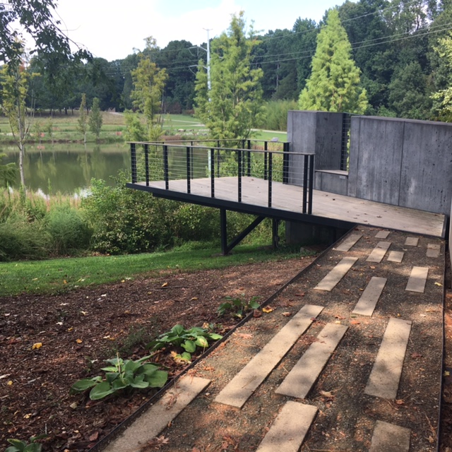
NC Museum of Art Trails (2.2 miles) – This is one of my favorite trails because of the stunning works of art situated throughout the course. It connects to several other major trails including the Reedy Creek Trail, providing continuous access to the Schenck Memorial Forest and Umstead Park, for extended hiking and biking.
Do you have a favorite Triangle Trail or Greenway? Please share it in the comments!

